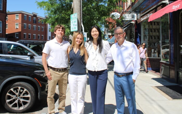
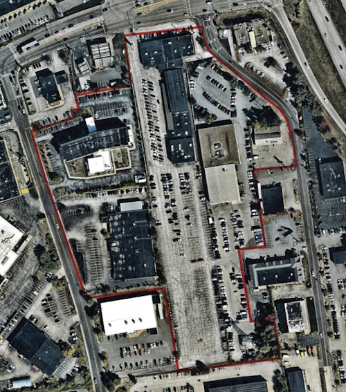
Envision Technologies creates stay, work, play in one Londonderry site
The 110-acre Village at Technology Park off Harvey Road in north Londonderry will include space for industrial, residential, childcare and retail.
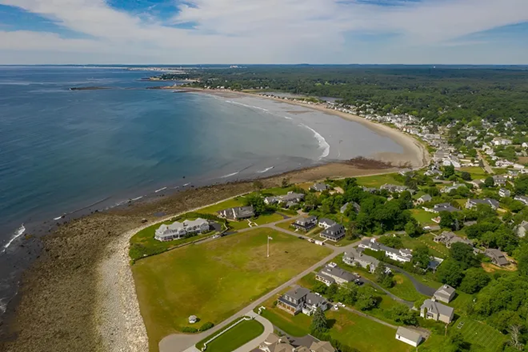
University of New Hampshire researchers have found that some roads, as far as two miles from the shore, are facing a new hazard that currently cannot be seen by drivers — rising groundwater caused by increasing ocean water levels.
They have identified sections of specific roads along New Hampshire’s Seacoast that they say are the most vulnerable as groundwater levels continue to rise.
Among them are the heavily traveled Route 286 in Seabrook and Gosling Road in Portsmouth and Newington. Without drastic improvements to these routes, at or below the pavement surface, motorists can expect segments of these roadways to deteriorate more quickly, require more maintenance and be closed for longer periods of time, according to the study, which was published in Transportation Research Record.
“Previous road vulnerability studies have looked at road surface flooding, but groundwater has not been addressed,” said Jayne Knott, a civil engineering doctoral candidate in UNH’s College of Engineering and Physical Sciences and lead author of the study. “We found that the effects of surface water flooding on roads occur within a mile of the coast, and groundwater rise effects can occur more than twice that, sometimes all the way to Pease Tradeport.”
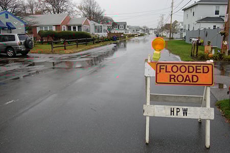
Groundwater levels are higher than sea levels, and that drives the groundwater discharge to the ocean. But as sea levels begin to rise, she said, groundwater is forced to slowly move up to maintain the equilibrium, inching closer to the pavement base layers that need to stay dry to defend their strength.
“The worst enemy of pavement is water,” said Jo Daniel, professor of civil and environmental engineering and a co-author of the study. “If the soil and substrate under the pavement get wet, then the strength that we had counted on to carry the traffic isn’t there anymore. So the pavement develops ruts and cracks, allowing more water to get into the underlying layers which makes the situation worse and closing roads for long periods of time to dry out impacting both commuters and tourists.”
Sea level predictions
For the study, the research team examined the cross-section data for the most endangered sections of five Seacoast roads — Spaulding Turnpike, Gosling Road, Route 286, Route 101 and Middle Street.
Highways are usually built with thicker cross-sections of materials to withstand heavier traffic, while smaller town roads are sometimes little more than layers of pavement over shallow depths of crushed gravel. The thickness of the pavement base layers provides a buffer that protects the road as groundwater rises. The roads where groundwater is already close to the surface are the ones that will likely be affected first, although local geology, topography, soil type and drainage can also influence this.
Researchers then compared NH Department of Transportation road cross-section data with current and projected groundwater levels given various sea level rise scenarios ranging from one foot by 2030 to 6.6 feet by the year 2100. Their results indicate that, although Route 101 and the Spaulding Turnpike will probably not have many adverse issues by rising groundwater until late in this century, both Route 286 — an emergency evacuation route — and Gosling Road are likely to be some of the first roads affected.
The 110-acre Village at Technology Park off Harvey Road in north Londonderry will include space for industrial, residential, childcare and retail.
At Blueline Advisors in Exeter, chief investment officer Frank Sabin is embracing AI, with the help of the students, to better serve his clients, who have entrusted about $250 million in assets in his care.

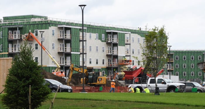
As Granite Staters eye ever-increasing purchase prices for a single-family home, state and federal policy makers wrestle with solutions that create more housing supply. Among them is bipartisan federal legislation on housing that is being held hostage by President Donald Trump’s fixation on a bill that would require voters to provide proof of citizenship with such documents as U.S. passports or birth certificates.

Two New Hampshire cities are among the 10 best-run cities in the country, according to a WalletHub analysis of U.S. communities where residents get the most bang for their taxes. Manchester was rated No. 3, while Nashua was close behind at No. 5., based on a “Quality of Services” score that WalletHub developed using 36 metrics across six key service areas — financial stability, education, health, safety, economy and infrastructure/pollution.

Business and event happenings around the state of NH

The Latest is a roundup of the comings and goings of the movers and shakers in NH's business community
A brand new and redesigned Revo Casino and Social House came back to Manchester’s land-use boards this month after the acquisition of additional nearby properties allowed the creation of an expanded vision for the project.
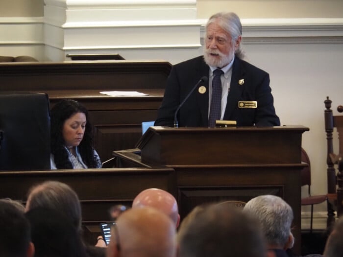
The New Hampshire House and Senate sent three bills to Gov. Kelly Ayotte intended to enable more housing construction, overcoming opposition from the New Hampshire Municipal Association and others.

HEALTH CARE By: DR. STEVEN ANGELO As more Americans live longer, maintaining brain health is becoming an increasingly important part of overall well-being. During Alzheimer’s & Brain Awareness Month, and throughout the year,…