NHBR About Town: Week of July 17, 2026
Business and event happenings around the state of NH
Three engineers associated with Dartmouth's Thayer School of Engineering are working with a team of more than 100 investigators on NASA's SnowEx project, according to Dartmouth News.
SnowEx is a five-year project that will serve as a the foundation of a NASA satellite mission that will be able to measure water content consistently in snowy environments. While NASA has been able to measure and collect data on snowfall amounts for decades, it has not be able to measure the water content in the snow.
“The snowpack is so important in the desert West because it provides all of the summer’s water. If you know how much is there in the first place, you can manage that water resource a lot more equitably and easily as summer progresses,” Christopher Polashenski, a Dartmouth graduate and adjunct assistant professor told Dartmouth News. In addition to being a Dartmouth faculty member, Polashenski is a research geophysicist at the U.S. Army Corps of Engineers Cold Regions Research and Engineering Laboratory in Hanover.
“We had come to the realization that we — the snow community — do not have a satellite to measure the stuff we want because we are not working together as well as we should be,” said Polashenski. “We wanted to get everybody on the same page about what is truly the best solution. A group of us—some at Dartmouth, some at CRREL, and some at NASA— all got together and began working together, and SnowEx was born.”
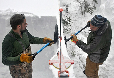
Polashenski, Dartmouth adjunct associate professor Zoe Courville and engineering graduate student Nicholas Wright have been collecting data from mountaintops in western Colorado to support the design of the new NASA satellite.
Initially, a prototype satellite was built with aircraft-mounted sensors, including altimetry LIDAR — a system that measures altitude using laser pulses — and radar waves were directed down through the snow to measure the amount and return the signal. But forested areas were causing the airborne sensors to not perform as well.
“To find out why, project leaders decided they needed testing in a lot of different types of forest canopy — closed canopies, open canopies, and transitions back and forth,” said Polashenski.
Colorado's Grand Mesa — the largest flat-topped mountain in the world — was selected as the first year's study area because of its varied terrain, according to Dartmouth News.
“Many different sensors were employed, testing their performance on measuring snow, not just in open areas but also under forest canopies,” said Polashenski, “and we were on the ground, trying to figure out what was there and comparing it to what the sensors were showing.”
“Remote sensing using airborne sensors lets you look at the snow surface and get an idea of what the snow is like on the ground without actually having go out and measure it,” said Nicholas Wright, a PhD student at Thayer. “Ground-based measurement is a lot of hard work, but it is significantly more accurate, and that is what we were doing.”
“The goal of the project overall is to test different ways of sensing the snow and push them to the breaking point,” said Polashenski. “We will try to put the sensors in circumstances where they probably won’t work and try and figure out why. At the end of the five-year project, NASA should be in a position to decide which sensors would eventually be mounted on a satellite in space.”
Polashenski said that what ends up being the best sensor “will probably be some sort of multimodal array, using radar combined with a LIDAR, and perhaps integrating other technologies, such as a passive microwave sensor. This would detect microwave radiation naturally emitted from the earth and give an indication as to whether the surface has melted or not”.
“All those approaches are being tested and evaluated, and many variations of each are now being flown over the mesa.”

Business and event happenings around the state of NH

The Latest is a roundup of the comings and goings of the movers and shakers in NH's business community
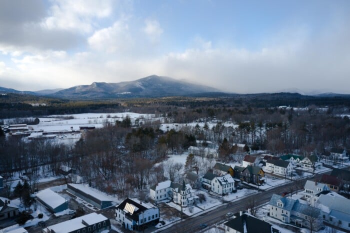
A decade after buying the property to redevelop it into a new generation of vacation cabins, the owner of Presidential Mountain Resort LLC (PMR) in Bethlehem has filed for bankruptcy protection in New York’s federal court, claiming more than $13 million in liabilities owed.

Failure to restore ACA tax cuts will only make things worse, according to U.S. Sen. Maggie Hassan

One of the things I enjoy most about working with New Hampshire business owners is hearing what they’re building toward. Whether it’s growth, succession or greater stability, our conversations are almost always about the future.

For many business owners, building wealth is closely tied to the success of the company. But as revenue grows and priorities shift, it can be difficult to know how much cash to keep available, how much to reinvest and when to begin planning for longer-term goals.

Succession planning for your business goes beyond naming the next leader. It involves preserving continuity for your employees and customers, as well as supporting the company’s long-term success.

As we close out Q2 and review the year so far, there are several interesting dynamics at play.

Londonderry’s Town Council is at odds over legal matters pertaining to hiring outside law firms to handle complaints and allegations of misconduct against the town manager.